

We all know where Santa Cruz County is. It’s all around us. Most of us live here.
The County starts somewhere north of Davenport, climbs the mountains to the northeast and wanders along Summit Drive. It crosses Highway 17 at The Summit, and skirts the edge of Loma Prieta. Fortunately, the County line is anchored in geography, not geology, so the 1989 earthquake didn’t knock it off track. The County makes a turn near Watsonville and heads back to the ocean in the main channel of the Pajaro River.
We don’t worry where the County is. We know when we are in it. There are signs on the roads that tell us when we’re leaving the County, and when we come back home.
Find out what's happening in Santa Cruzwith free, real-time updates from Patch.
But where is the Santa Cruz County boundary on the seaward side? At the cliffs looming over the beach? On the beach itself? The high tide line? The low tide line? Somewhere in between?
As it turns out, the boundaries of Santa Cruz County are carefully defined by the State of California, and enshrined in crisp black and white in California Government Code Section 23144.
Find out what's happening in Santa Cruzwith free, real-time updates from Patch.
According to the State of California, the County starts “at a point in the Pacific Ocean south 45 degrees W., three nautical miles from the intersection of the east line of Rancho Punta del Ano Nuevo with said ocean, forming the western corner.” At the opposite end, “westerly along said river [the Pajaro], on the northern line of San Benito and Monterey, to the Bay of Monterey, and three miles westerly into the ocean, forming the southwest corner; thence northwesterly along a course three nautical miles distant from the shore to the point of beginning.”
What this means is that Santa Cruz County ends, not at the beach, nor at any particular tide line, but three miles off-shore. This also means that jurisdiction for all County departments also extends three miles off-shore, covering the entirety of all beaches in the County.
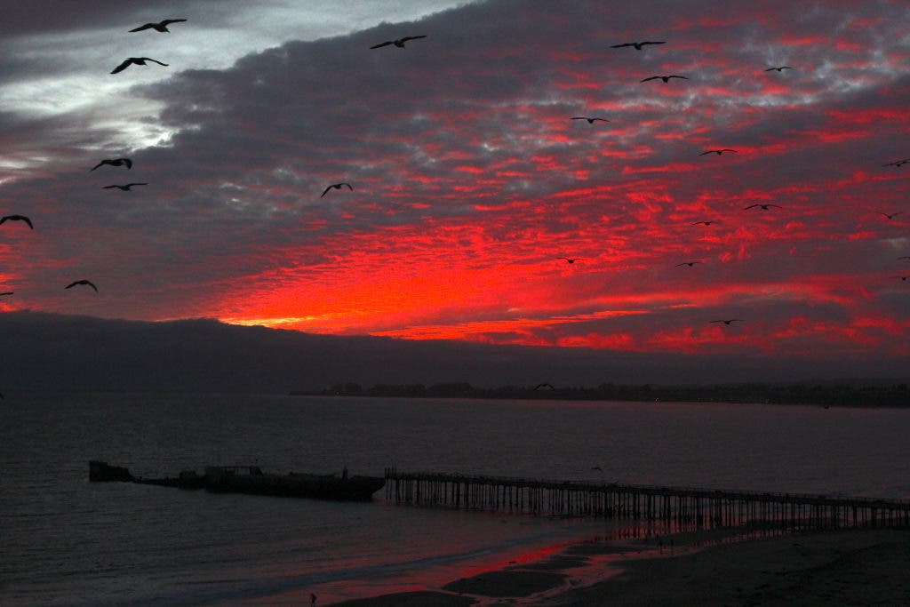
Stand on the beach with your toes in the water on a clear day and look out to the open ocean. The horizon you see is three miles away. That’s the end of Santa Cruz County, where the sky meets the sea.
Beyond that edge, there be dragons.


